the wire · #global · 2026-08-02
For a Day, Google Made It Easy to Spoof Satellite Imagery
Cech Tech Reviews
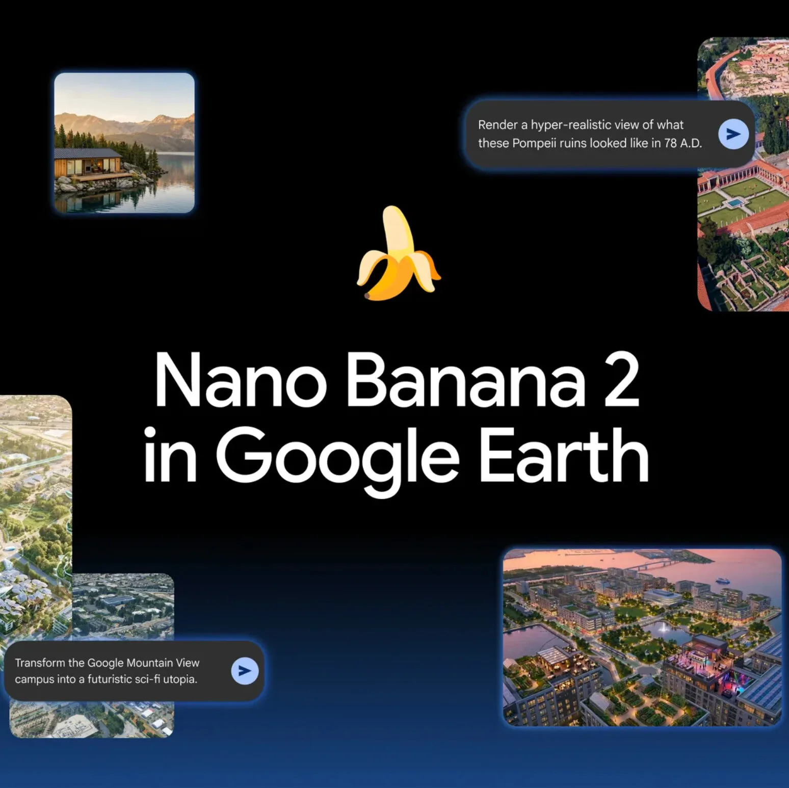
Google rolled out and then rapidly rolled back a generative AI feature that let users modify satellite imagery through its Earth Engine platform, according to reports from researchers and geospatial analysts who spotted the tool. Within roughly 24 hours, the feature disappeared after vocal concerns about weaponizing maps for propaganda and disinformation.
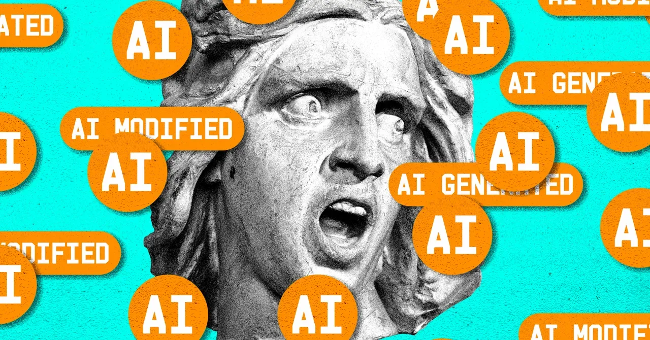
The tool reportedly used generative AI to alter features in satellite images, essentially creating deepfake maps. For context, satellite imagery has long been trusted as ground truth in journalism, disaster response, environmental monitoring, and conflict documentation. A tool that makes it trivial to fabricate convincing fake imagery threatens that entire trust model.
Google's quick reversal is notable because big tech companies typically defend new AI features or slow-walk changes after criticism. The speed here suggests either internal alarm bells or an accidental public release that wasn't ready for prime time. Either way, it highlights how even sophisticated teams can misjudge the risks of putting generative tools in the wild.
The incident underscores a broader tension in AI development. Generative models that can alter images, video, and now geospatial data are powerful for legitimate creative and research use cases. But the same capabilities become disinformation infrastructure the moment they're accessible at scale. The line between innovation and weaponization is often just a product decision.
For Earth Engine users and the geospatial community, this was a near miss. Maps and satellite data underpin critical decisions, from climate research to human rights investigations. Introducing AI-generated uncertainty into that pipeline without robust verification systems would erode decades of credibility.
What this means for you: if you work with satellite data, imagery, or maps in your projects, this is a reminder to document provenance and verify sources rigorously. As generative tools proliferate, assume any visual evidence could be synthetic unless you can trace it to a trusted origin. When analyzing imagery with AI tools, try this prompt: "Review this satellite image and flag any visual artifacts, inconsistencies in lighting or shadows, or geometric anomalies that might indicate synthetic generation or manipulation." It won't catch everything, but it adds a verification step to your workflow.
Reporting basis: original story
← back to The Wire